Appearance settings
Hotspotty gives you tons of customizable settings to choose from so that you can make Hotspotty look the way you prefer.
For almost every different page, you have other appearance settings to choose from. The options are hidden under the settings ⚙️ icon in the upper right corner. Some options require strong computer resources, which can cause the website to respond a bit slower after enabling some options. Therefore, we recommend that you test out for yourself what works best for you.

No matter what page you are looking at, the theme, distance unit and currency are changeable from everywhere.

Theme: Use system settings, Light, Dark
Distance unit: Metric (m), Imperial (ft)
Currency: HNT, IOT, MOBILE, USD, EURO, GBP, CAD, AUD, BRL, JPY, DKK, SEK, CHF, INR, CNY, MYR, SGD, NZD
Customize the Hotspotty map
Head over to the Hotspotty app landing page. There are lots of options to choose from here.
Layers
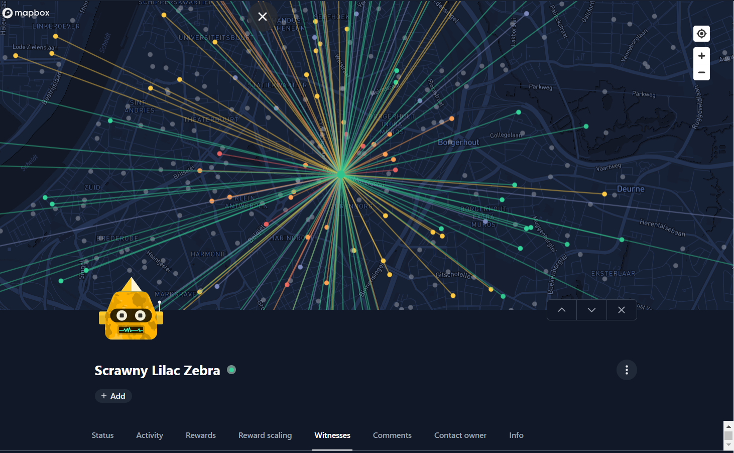
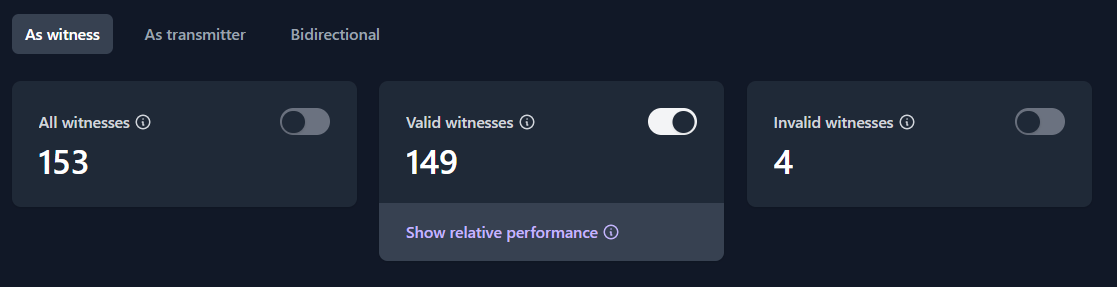
Witness lines
Show/hide lines for hotspot witnesses. More info is on the hotspot witnesses tab. By enabling one of the witness options, the lines will visualize that information. Please see the witness tab for this.
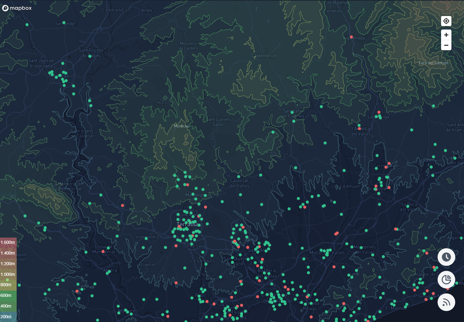
Elevation contours
Contour lines show vertical dimension on a region by joining points of equal elevation. This makes it convenient (2D) to visually identify topological obstructions between hotspots/locations which can block coverage. It also identifies opportunities for better coverage by identifying hills.
Helium IOT/MOBILE hotspots
Hide hotspots for distraction free location planning.
Locations
Locations allow managing and simulating potential places where hotspots can be installed at. Currently the only available metric for coloring locations is the simulated transmit scale. Locations disabled for transmit scale simulations are grey.
Satellite view
Add a satellite view overlay to the map.
Customize your Hotspotty workspace
Workspaces do not have special appearance settings next to the default ones. But almost all tabs shown in the workspace have 3 dots that allow for editing the columns with metrics to your needs.